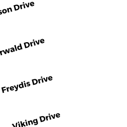
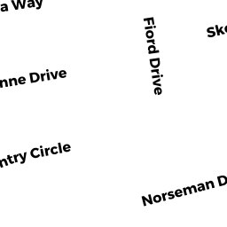
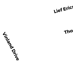
9 LIEF ERICSON DRIVE SD
Owner Information
DAVENPORT DEWITT P TRUSTEE
20 NORTH MAIN STREET
SOUTH YARMOUTH, MA 02664


Property Details
9 LIEF ERICSON DRIVE SD is classified as a Single Family Residential (Cape).
The primary structure on this property was built in 2015. There are 1,092ft2 of built area within this property. There is 1,092ft2 of residential/living space within this property. This property is listed as having 4 rooms.
9 LIEF ERICSON DRIVE SD is valued at $379,600. The land is valued at $115,700 and the structures are valued at $263,900.
The most recent deed for 9 LIEF ERICSON DRIVE SD is recorded at the local registrar in Book 29098, Page 49. 9 LIEF ERICSON DRIVE SD was last sold on Wednesday, August 26, 2015 for $100,000.
Assessment data from fiscal year 2022.
Flood Data
According to the FEMA National Flood Hazard Layer, this property does not appear to be in a flood zone. It may also be in an area not yet reviewed. Nonetheless, confirm this information prior to taking any action.
To view the flood hazards around this property, create a FEMA "Firmette" Map of the area around 9 LIEF ERICSON DRIVE SD.
Broadband Internet Providers
| Provider | Type | Bandwidth (mbps) | |
|---|---|---|---|
| HughesNet | Satellite | 25 | 3 |
| VSAT Systems, LLC. | Satellite | 2 | 1 |
| GCI Communication Corp. | Satellite | 0 | 0 |
| Comcast | Cable | 1000 | 35 |
| Verizon New England Inc. | DSL | 5 | 0 |
| Viasat Inc | Satellite | 35 | 3 |
Broadband service provider data from December 2020.
Adjacent Properties
- 4 THORWALD DRIVE SD
Undevelopable Residential Land owned by MASUCCI GERARD ET ALI - 1 LIEF ERICSON DRIVE SD
Single Family Residential owned by BABAIAN CYNTHIA JEAN TRUSTEE - 10 THORWALD DRIVE SD
Single Family Residential owned by MASUCCI GERARD ET ALI - 13 LIEF ERICSON DRIVE SD
Single Family Residential owned by BETTENCOURT GENE D TRUSTEE